Pic des Mouches
Map
Gallery

Facts and practical information
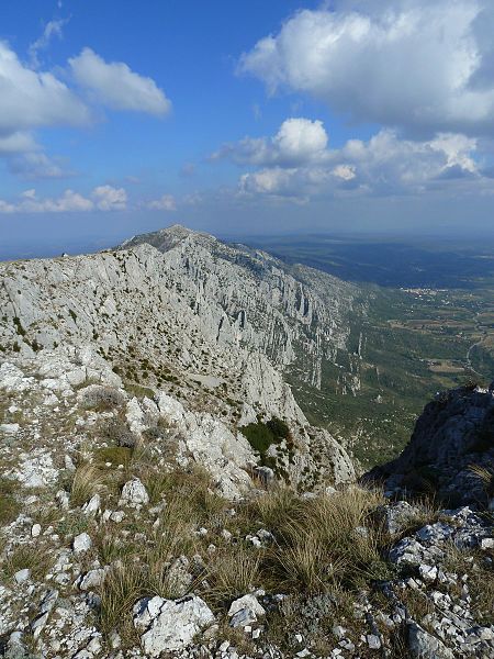
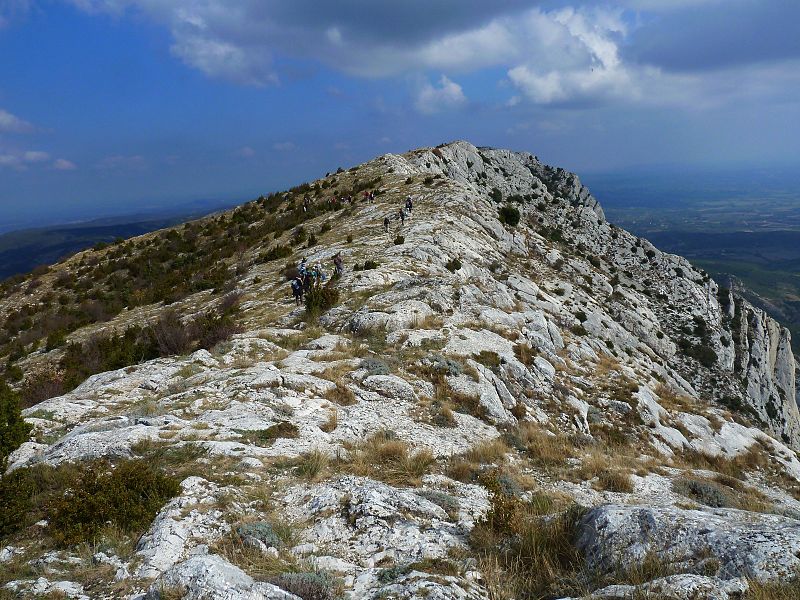
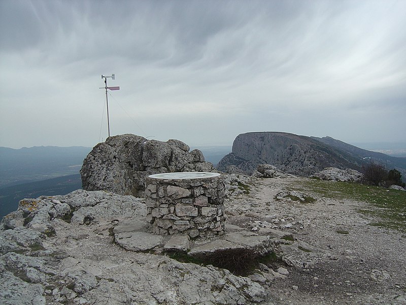
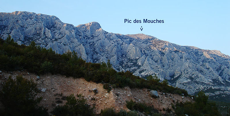
The pic des Mouches is the highest summit of the Sainte-Victoire mountain; it culminates at 1 011 m of altitude. It is located on the path of the GR9 hiking trail.
Coordinates: 43°32'20"N, 5°38'44"E
Location
Provence-Alpes-Côte d'Azur
ContactAdd
Social media
Add
Day trips
Pic des Mouches – popular in the area (distance from the attraction)
Nearby attractions include: Château de Vauvenargues, Montagne Sainte-Victoire, Rousset, Puyloubier.


