Château de la Motte-aux-Bois
Map

Map

Facts and practical information
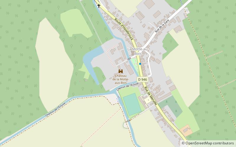
The Motte-aux-Bois castle was built in 1065 by Robert le Frison, Count of Flanders. It remained for a long time in the possession of the counts of Flanders and then of the dukes of Burgundy, before becoming the property of the counts of Morbecque. It is currently used for a completely different purpose as the home of the Amaury de la Grange Aeronautical Institute.
The former commune of La Motte-aux-Bois having merged with Morbecque after the Revolution between 1790 and 1794, the castle is now on the territory of Morbecque.
Coordinates: 50°40'55"N, 2°34'15"E
Location
Hauts-de-France
ContactAdd
Social media
Add
Day trips
Château de la Motte-aux-Bois – popular in the area (distance from the attraction)
Nearby attractions include: Canal de la Nieppe, Église Saint-Firmin, Merville, War Memorial.


