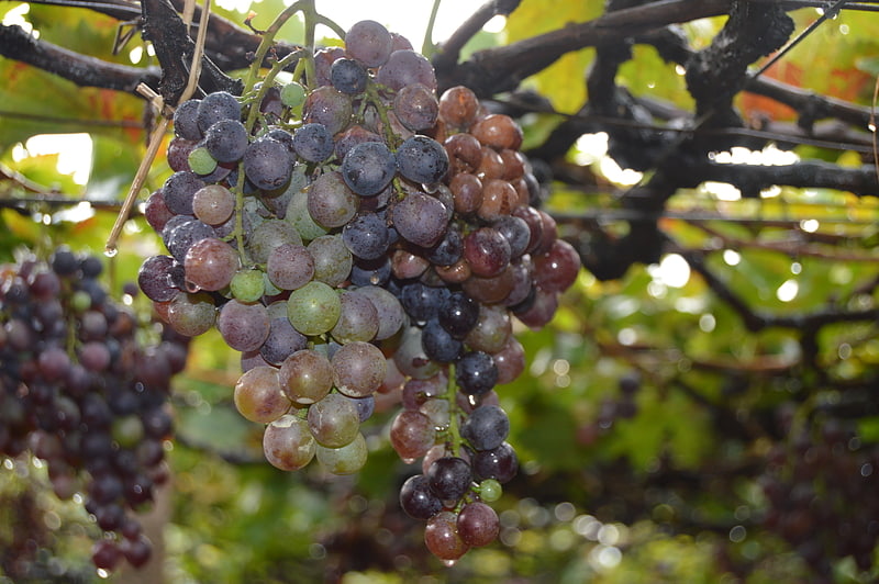
Ecomusée du Libournais, Montagne

Gallery (1)
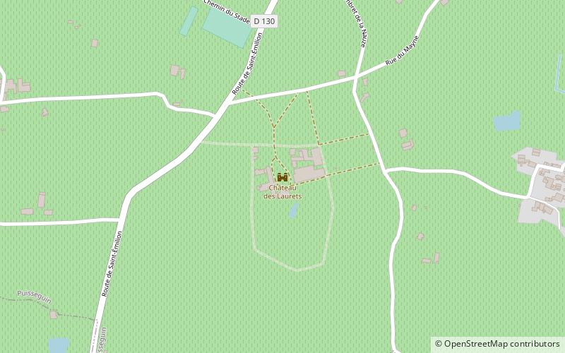
Map
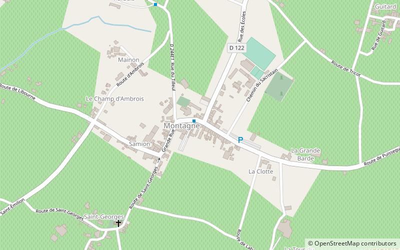
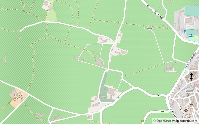
Map
Facts and practical information
Ecomusée du Libournais is a place located in Montagne (New Aquitaine region) and belongs to the category of museum.
It is situated at an altitude of 299 feet, and its geographical coordinates are 44°55'49"N latitude and 0°7'44"W longitude.
Among other places and attractions worth visiting in the area are: Château de Lussac (winery, 57 min walk), Église Notre-Dame de Parsac (church, 57 min walk), Château Rol Valentin (winery, 59 min walk).
Coordinates: 44°55'49"N, 0°7'44"W
Address
Montagne
ContactAdd
Social media
Add
Day trips