Trek Zone

Mairie des Ollières-sur-Eyrieux, Les Ollières-sur-Eyrieux

#1 among attractions in Les Ollières-sur-Eyrieux

City hall
Mairie des Ollières-sur-Eyrieux

Facts and practical information

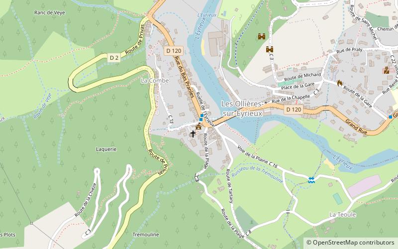
Mairie des Ollières-sur-Eyrieux (address: Centre Village) is a place located in Les Ollières-sur-Eyrieux (Auvergne-Rhône-Alpes region) and belongs to the category of city hall.

It is situated at an altitude of 597 feet, and its geographical coordinates are 44°48'15"N latitude and 4°36'49"E longitude.

Among other places and attractions worth visiting in the area are: Saint-Sauveur-de-Montagut (locality, 52 min walk), Saint-Michel-de-Chabrillanoux (locality, 65 min walk), Church of the Assumption, Pranles (church, 73 min walk).

Coordinates: 44°48'15"N, 4°36'49"E
Address

Centre VillageLes Ollières-sur-Eyrieux France

Contact
Social media
Add

Les Ollières-sur-Eyrieux plan & book

Unleash the traveler in you — discover the cheapest flight deals, find the perfect hotel or hostel nearby, and search for the best car rental prices. Travel at your own pace to discover new places and enjoy your journey.

Day trips

Mairie des Ollières-sur-Eyrieux – popular in the area (distance from the attraction)

Nearby attractions include: Église Saint-Pierre de Lubilhac, Privas, Church of the Assumption, War Memorial.

  • eglise saint pierre de lubilhac coux4.8 miS
  • privas4.8 miS
  • church of the assumption pranles2.8 miSW
  • war memorial coux4.9 miS
  • saint sauveur de montagut2 miNW
  • saint fortunat sur eyrieux3.5 miNE
  • saint michel de chabrillanoux2.5 miN
  • gluiras5.3 miNW

Where to next? Visit auvergne rhone alpes Auvergne-Rhône-Alpes region page or discover the top tourist attractions in France.