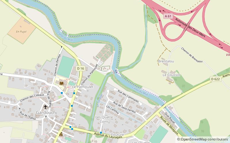
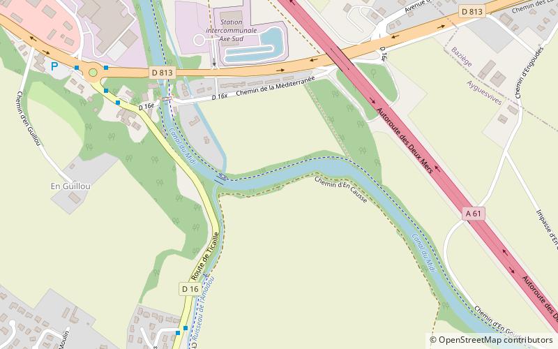
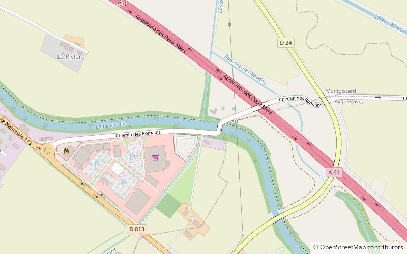
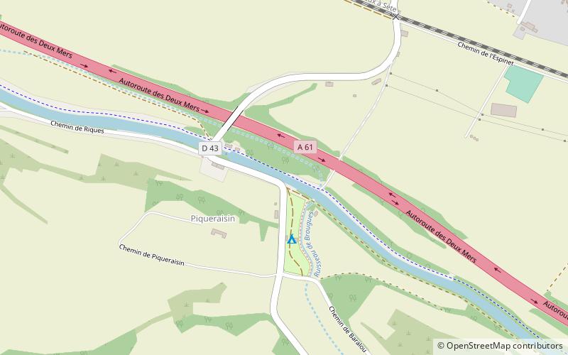
Lers Aqueduct, Gardouch

Map
Facts and practical information
The Hers Aqueduct is one of several aqueducts, or water bridges, created for the Canal du Midi. It crosses the river Hers-Mort near the village of Renneville, south of Villefranche-de-Lauragais. The structure was first built in 1688–1690, but the present structure is the result of modifications by Jean-Polycarpe Maguès in 1806, chief engineer on the Canal du Midi. It has been listed since 1998 as a monument historique by the French Ministry of Culture. ()
Address
Gardouch
ContactAdd
Social media
Add
Day trips