Canal du Nivernais
Map

Map

Facts and practical information
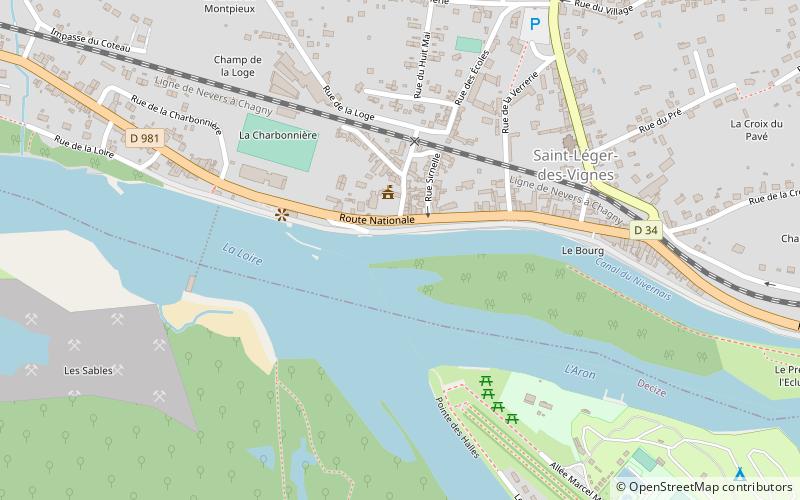
The Canal du Nivernais links the Loire with the Seine, following approximately the course of the river Yonne in a south to north direction. It first climbs northeast and north to cross the Morvan watershed, then roughly follows the course of the Yonne. Beginning on the Loire in the village of Saint-Léger-des-Vignes, it reaches its half-way point at the town of Clamecy and finishes at Auxerre on the Yonne. ()
Location
Bourgogne-Franche-Comté
ContactAdd
Social media
Add
Day trips
Canal du Nivernais – popular in the area (distance from the attraction)
Nearby attractions include: Église Saint-Aré, Château de Verneuil, Bibliothèque Municipale de Decize.


