Communauté d'agglomération Grand Paris Sud Seine-Essonne-Sénart, Évry
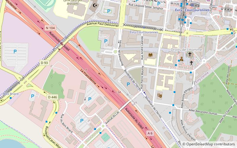
Map
Facts and practical information
The Communauté d'agglomération Grand Paris Sud Seine-Essonne-Sénart is the communauté d'agglomération, an intercommunal structure, in the southern suburbs of Paris. It is located in the Essonne and Seine-et-Marne departments, in the Île-de-France region, northern France. It was created in January 2016. Its seat is in Courcouronnes. Its area is 221.2 km2. Its population was 352,123 in 2018. ()
Getting there by public transportation
Public transportation stops near this location
- Bus
- Train
 Bus
Bus
- Calculate routeMonseigneur Roméro 6 min walk
- Calculate routeAvenue du Lac 6 min walk
- Calculate routeLes Estudines 6 min walk
- Calculate routeBois Briard 7 min walk
- Calculate routeÉvry - Courcouronnes 9 min walk
- Calculate routeOrangis - Bois de l'Épine 31 min walk
Day trips


Frequently Asked Questions (FAQ)
Which popular attractions are close to Communauté d'agglomération Grand Paris Sud Seine-Essonne-Sénart?
Nearby attractions include University of Évry Val d'Essonne, Évry (3 min walk), Grand Mosque of Évry, Évry (7 min walk), Évry Cathedral, Évry (7 min walk), ENSIIE, Évry (13 min walk).
How to get to Communauté d'agglomération Grand Paris Sud Seine-Essonne-Sénart by public transport?
The nearest stations to Communauté d'agglomération Grand Paris Sud Seine-Essonne-Sénart:
Bus
Train
Bus
- Monseigneur Roméro • Lines: 401, 402, 403, 404, 405, 407, 414, 414D, 415, 416, 453 (6 min walk)
- Avenue du Lac • Lines: 401, 403, 414 (6 min walk)
Train
- Évry - Courcouronnes (9 min walk)
- Orangis - Bois de l'Épine (31 min walk)