Le Pont Saint-Etienne, Limoges
Map

Map

Facts and practical information
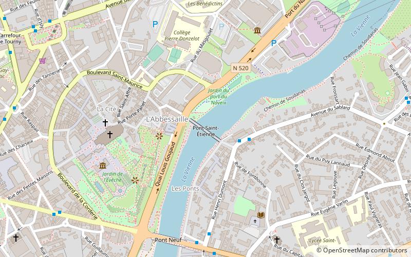
The Saint-Etienne bridge is a bridge of the city of Limoges. It is 120 m long and was built in the 13th century.
Coordinates: 45°49'45"N, 1°16'14"E
Address
8 place Compostelle, 87000 LimogesGrand Quartier N°08 (Montplaisir)Limoges
Contact
Social media
Add
Day trips
Le Pont Saint-Etienne – popular in the area (distance from the attraction)
Nearby attractions include: Church of St. Michel des Lions, Limoges Cathedral, Church of St. Pierre du Queyroix, Abbey of Saint Martial.
Frequently Asked Questions (FAQ)
Which popular attractions are close to Le Pont Saint-Etienne?
Nearby attractions include Jardin botanique de l'Evêché, Limoges (4 min walk), Limoges Cathedral, Limoges (5 min walk), Museum of Fine Arts, Limoges (6 min walk), Laser League, Limoges (10 min walk).
How to get to Le Pont Saint-Etienne by public transport?
The nearest stations to Le Pont Saint-Etienne:
Bus
Trolleybus
Train
Bus
- Le Sablard • Lines: 35 (3 min walk)
- Auzette • Lines: 32, 35, d1 (6 min walk)
Trolleybus
- Auzette • Lines: 1 (7 min walk)
- Sécurité Sociale • Lines: 5 (8 min walk)
Train
- Limoges-Bénédictins (14 min walk)
- Limoges-Montjovis (29 min walk)


