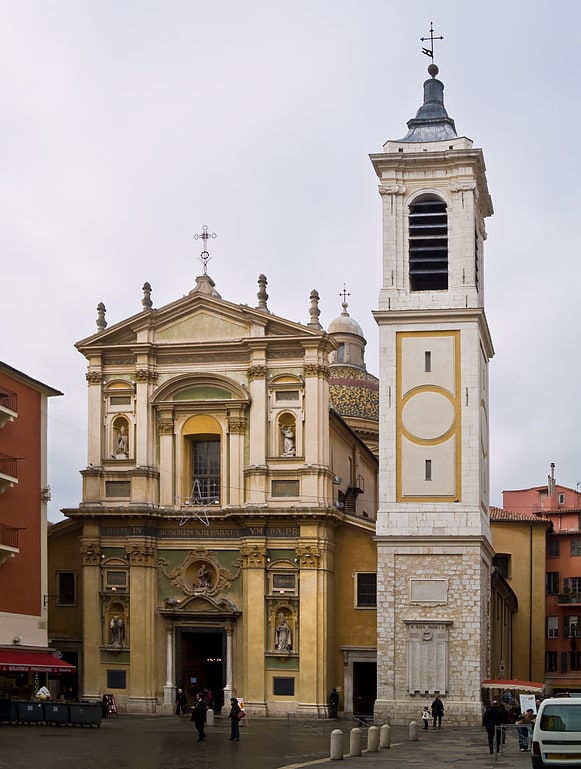
Parvis de l'Église du Voeu, Nice
Facts and practical information
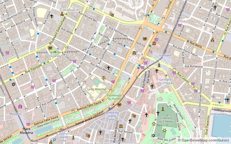
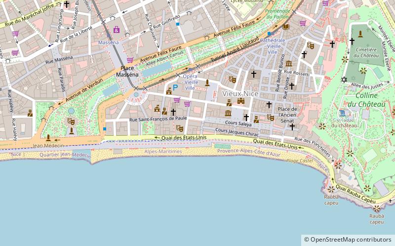
Parvis de l'Église du Voeu (address: 2 rue Alfred Mortier) is a place located in Nice (Provence-Alpes-Côte d'Azur region) and belongs to the category of square, church.
It is situated at an altitude of 56 feet, and its geographical coordinates are 43°42'1"N latitude and 7°16'37"E longitude.
Planning a visit to this place, one can easily and conveniently get there by public transportation. Parvis de l'Église du Voeu is a short distance from the following public transport stations: Lycée Masséna (bus, 2 min walk), Cathédrale - Vieille Ville (tram, 4 min walk), Nice Ferry Terminal (ferry, 17 min walk), Nice Riquier (train, 20 min walk).
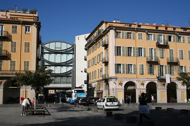
Among other places and attractions worth visiting in the area are: MAMAC (museum, 3 min walk), Place Saint-François (square, 4 min walk), Chapelle du Saint-Sépulcre (church, 4 min walk).
2 rue Alfred MortierCarabacel (Promenade du Paillon)Nice 06000
- Bus
- Tram
- Train
- Ferry
 Bus
Bus
- Calculate routeLycée Masséna 2 min walk
- Calculate routePromenade des Arts 3 min walk
- Calculate routeDéfly 3 min walk
- Calculate routeBus 217/720/790 4 min walk
- Calculate routeCathédrale - Vieille Ville 4 min walk
- Calculate routeGaribaldi / Le Château 5 min walk
- Calculate routeDurandy 7 min walk
- Calculate routeNice Ferry Terminal 17 min walk
- Calculate routeNice Riquier 20 min walk
- Calculate routeNice-Ville 21 min walk
- Calculate routeNice - CP 27 min walk
- Calculate routeGambetta 33 min walk
Parvis de l'Église du Voeu – popular in the area (distance from the attraction)
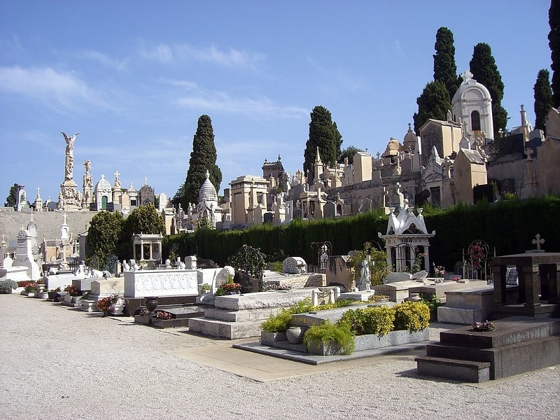
Nearby attractions include: MAMAC, Palais Lascaris, Castle of Nice, Cimetière du Château.


Frequently Asked Questions (FAQ)
Which popular attractions are close to Parvis de l'Église du Voeu?
How to get to Parvis de l'Église du Voeu by public transport?
Bus
- Lycée Masséna • Lines: 12 (2 min walk)
- Promenade des Arts • Lines: 12, 15, 30, 301, 302, 303, 33 (3 min walk)
Tram
- Cathédrale - Vieille Ville • Lines: 1 (4 min walk)
- Garibaldi / Le Château • Lines: 2 (5 min walk)
Ferry
- Nice Ferry Terminal (17 min walk)
Train
- Nice Riquier (20 min walk)
- Nice-Ville (21 min walk)