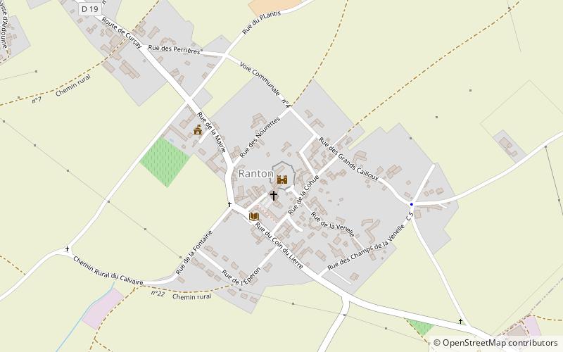
Château de Ranton
Map

Map

Facts and practical information
The Château de Ranton is a small fortified castle in the village of Ranton, in the Department of the Vienne just west of Loudun, and south of the Loire. It was one of the front line of fortresses which were built to defend the royal city of Loundun at the beginning of the Hundred Years' War in 1340–1345. It played this military role until 1372. It then became a feudal manor and one of the estates of aristocratic families associated with the Courts of the French Kings and the Dukes of Anjou. ()
Coordinates: 47°0'2"N, 0°1'45"W
Location
New Aquitaine
ContactAdd
Social media
Add
Day trips
Château de Ranton – popular in the area (distance from the attraction)
Nearby attractions include: Château d'Oiron, Château de Ternay, St. Maurice Church, Église Saint-Pierre du Marché.


