Hike Cap Canaille, Cassis
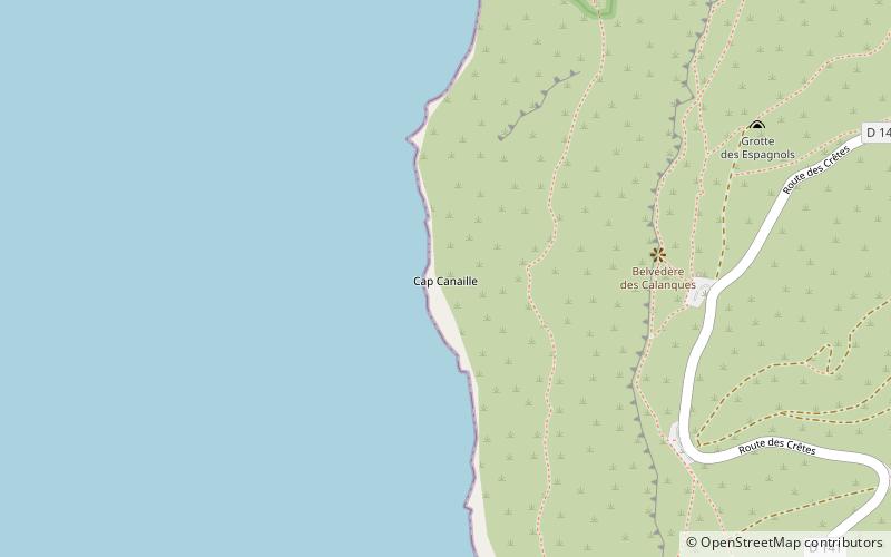
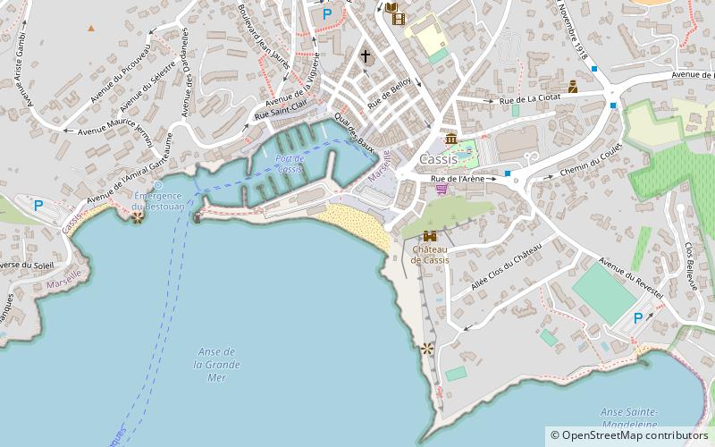
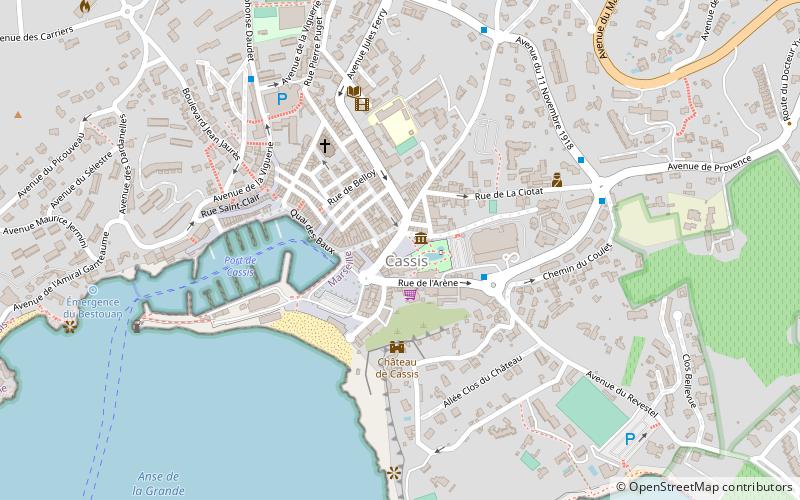
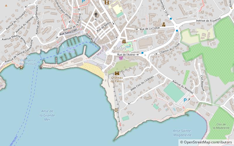
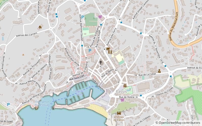
Map
Facts and practical information
Hike Cap Canaille is a place located in Cassis (Provence-Alpes-Côte d'Azur region) and belongs to the category of beach.
It is situated at an altitude of 46 feet, and its geographical coordinates are 43°11'58"N latitude and 5°32'54"E longitude.
Among other places and attractions worth visiting in the area are: Plage Cap Canaille (beach, 17 min walk), Château de Cassis (forts and castles, 26 min walk), Plage La Grande Mer (beach, 28 min walk).
Coordinates: 43°11'58"N, 5°32'54"E
Address
Cassis
ContactAdd
Social media
Add
Day trips