Château de Roquedols, Cévennes National Park

Gallery (1)
Map
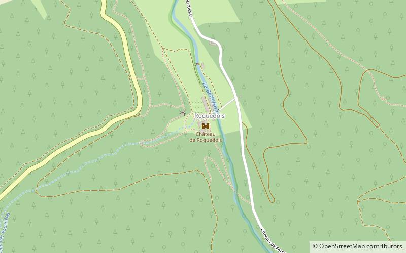
Map
Facts and practical information
The castle of Roquedols is a castle located in the French commune of Meyrueis, in Lozere. It houses an information center of the Cevennes National Park.
The castle was registered as a historical monument by order of February 15, 2012.
Coordinates: 44°9'43"N, 3°26'19"E
Address
Cévennes National Park
ContactAdd
Social media
Add
Day trips