Mont Mouchet

Gallery (3)
Map
Map
Gallery
Facts and practical information
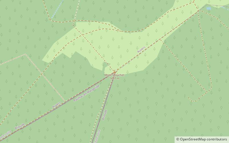
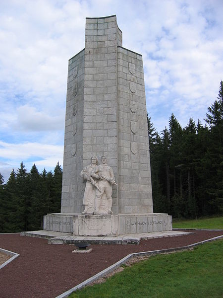
Mont Mouchet is a 1,497-metre-high mountain located on the border of the French départements of Cantal, Haute-Loire and Lozère. It is famous for the historical events which took place there, notably during the Second World War where it hosted a group of French resistance fighters, the Maquis du Mont Mouchet. At the summit there is a large cairn and view-point from which there is a splendid panoramic view over much of Central France from the Massif Central to the Alps. ()
Location
Auvergne-Rhône-Alpes
ContactAdd
Social media
Add