Phare du Grand Charpentier
Map

Map

Facts and practical information
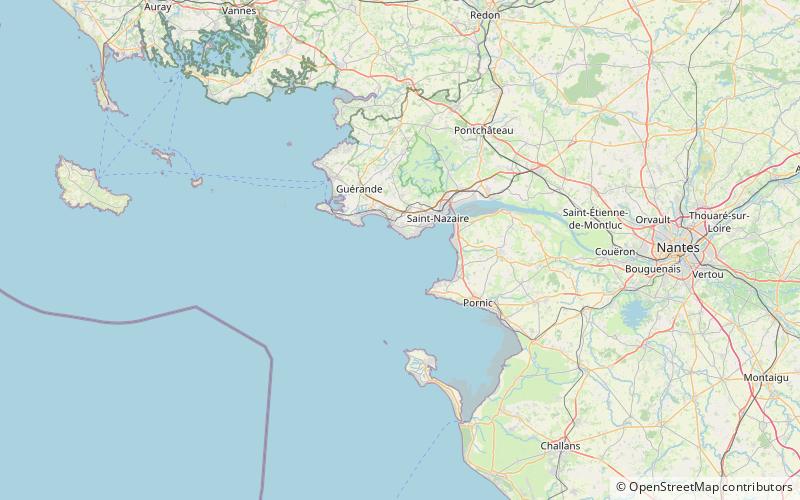
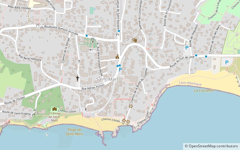
The Grand-Charpentier lighthouse is an offshore lighthouse, 1.3 miles off the tip of Chémoulin and its semaphore.
Located on the rocky plateau of Charpentiers, it marks the Loire estuary and the port of Saint-Nazaire, in Loire-Atlantique.
Coordinates: 47°12'50"N, 2°19'8"W
Location
Pays de la Loire
ContactAdd
Social media
Add
Day trips
Phare du Grand Charpentier – popular in the area (distance from the attraction)
Nearby attractions include: Saint-Nazaire submarine base, Escal'Atlantic, Saint-Marc-sur-Mer, La Baule.


