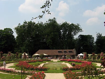
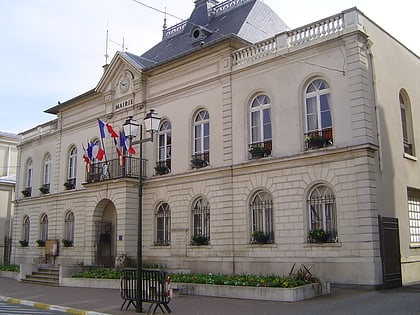
Antony, Paris
Map
Gallery
Facts and practical information
Antony is a commune in the southern suburbs of Paris, France, 11.3 km from the centre of Paris. Antony is a subprefecture of the Hauts-de-Seine department and the seat of the arrondissement of Antony. ()
Address
Antony (Centre Ville Antony)Paris
ContactAdd
Social media
Add
Day trips
Antony – popular in the area (distance from the attraction)
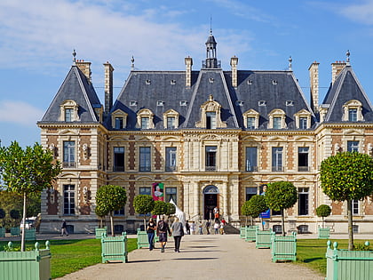
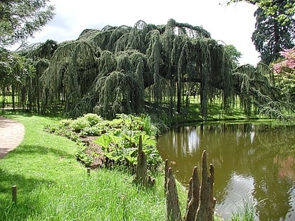
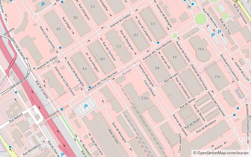
Nearby attractions include: Château de Sceaux, Arboretum de la Vallée-aux-Loups, Rungis International Market, Arboretum municipal de Verrières-le-Buisson.
Frequently Asked Questions (FAQ)
How to get to Antony by public transport?
The nearest stations to Antony:
Bus
Light rail
Train
Bus
- Église - Mairie • Lines: 3 (1 min walk)
- Théâtre - Mairie • Lines: 12, 196, 395, 8 (4 min walk)
Light rail
- Antony (6 min walk)
Train
- Fontaine-Michalon (19 min walk)
- La Croix de Berny (19 min walk)

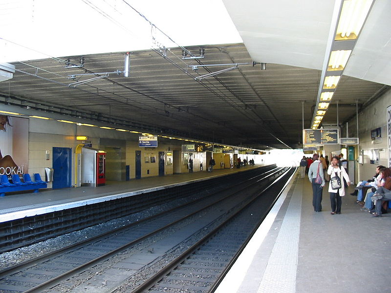

 Metro
Metro