Aqueduct of the Gier, Lyon
Map
Gallery

Facts and practical information
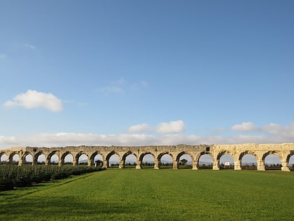
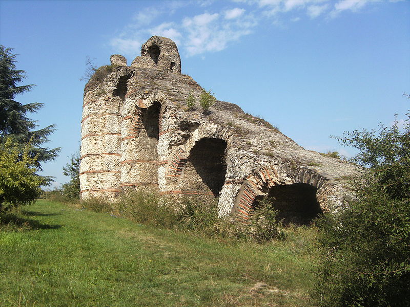
The Aqueduct of the Gier is an ancient Roman aqueduct probably constructed in the 1st century AD to provide water for Lugdunum, in what is now eastern France. It is the longest and best preserved of four Roman aqueducts that served the growing capital of the Roman province of Gallia Lugdunensis. It drew its water from the source of the Gier, a small tributary of the Rhone, on the slopes of Mont Pilat, 42 km south-west of Lyon. ()
Address
Francheville (Francheville Le Haut)Lyon
ContactAdd
Social media
Add
Day trips
Aqueduct of the Gier – popular in the area (distance from the attraction)
Nearby attractions include: Fort du Bruissin, Francheville, Chaponost, Vieux Château.
Frequently Asked Questions (FAQ)
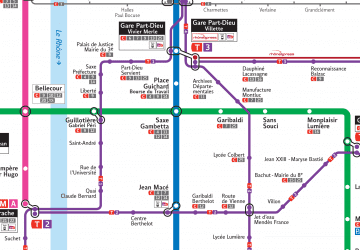
How to get to Aqueduct of the Gier by public transport?
The nearest stations to Aqueduct of the Gier:
Bus
Train
Bus
- Chaponost les Vergers • Lines: 12 (9 min walk)
- Ferroussat • Lines: 12 (10 min walk)
Train
- Francheville (24 min walk)


 Metro
Metro


