Manège Armelle, Carnac

Gallery (1)
Map
Map
Facts and practical information
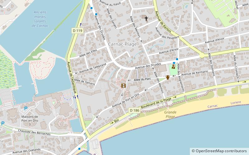
Manège Armelle (address: 27 avenue Miln) is a place located in Carnac (Brittany region) and belongs to the category of amusement, game and entertainment center, amusement ride.
It is situated at an altitude of 13 feet, and its geographical coordinates are 47°34'22"N latitude and 3°4'33"W longitude.
Among other places and attractions worth visiting in the area are: Église Saint-Cornély (sacred and religious sites, 19 min walk), Saint-Michel tumulus (geologic formation, 27 min walk), Alignement de Kermario (historical place, 44 min walk).
Coordinates: 47°34'22"N, 3°4'33"W
Day trips


