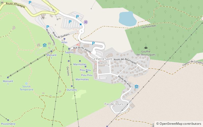
Maison de la Pierre, Arette
Map

Map

Facts and practical information
Maison de la Pierre (address: la Pierre Saint Martin) is a place located in Arette (New Aquitaine region) and belongs to the category of ski area, park, outdoor activities.
It is situated at an altitude of 5384 feet, and its geographical coordinates are 42°58'38"N latitude and 0°44'40"W longitude.
Among other places and attractions worth visiting in the area are: Col de la Pierre St Martin (nature, 31 min walk), Mesa de los Tres Reyes (nature, 64 min walk), Pic d'Anie (nature, 66 min walk).
Elevation: 5384 ft a.s.l.Coordinates: 42°58'38"N, 0°44'40"W
Day trips
Maison de la Pierre – popular in the area (distance from the attraction)
Nearby attractions include: Pic d'Anie, La Verna cave, Mesa de los Tres Reyes, Col de la Pierre St Martin.


