Château de Fourquevaux

Gallery (1)
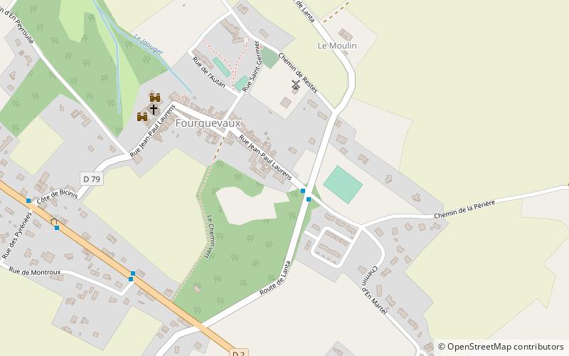
Map
Map
Facts and practical information
The Château de Fourquevaux was originally a 15th-century castle in the commune of Fourquevaux in the Haute-Garonne département of France. It was modified in the 16th century. An orangery was added in the last quarter of the 18th century. ()
Coordinates: 43°30'19"N, 1°37'10"E
Location
Occitanie
ContactAdd
Social media
Add
Day trips