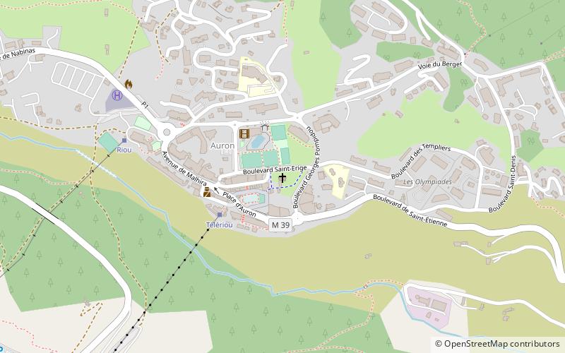
Chapelle Saint-Erige
Map

Map

Facts and practical information
The Saint-Érige chapel is a Catholic chapel located in Auron on the territory of the commune of Saint-Étienne-de-Tinée, France. Built in the 13th century or in the first half of the following century.
Coordinates: 44°13'32"N, 6°55'58"E
Location
Provence-Alpes-Côte d'Azur
ContactAdd
Social media
Add
Day trips
Chapelle Saint-Erige – popular in the area (distance from the attraction)
Nearby attractions include: Église Saint-Dalmas, Mont Ténibre, Saint-Sébastien Chapel.


