Mairie de Villabé, Villabé

Gallery (1)
Map
Map
Facts and practical information
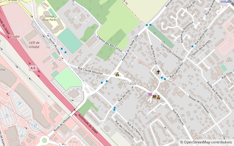
Mairie de Villabé (address: 34 Bis avenue du Huit Mai 1945) is a place located in Villabé (Île-de-France region) and belongs to the category of city hall.
It is situated at an altitude of 256 feet, and its geographical coordinates are 48°35'21"N latitude and 2°27'13"E longitude.
Among other places and attractions worth visiting in the area are: Saint Stephen's Church, Corbeil-Essonnes (church, 32 min walk), Ormoy, Mennecy (area, 33 min walk), Piscine stade nautique Gabriel Menut, Corbeil-Essonnes (watersports, 45 min walk).
Coordinates: 48°35'21"N, 2°27'13"E
Day trips


