Capture of Le Sars

Map
Facts and practical information
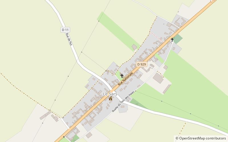
The Capture of Le Sars was a tactical incident during the Battle of the Somme. Le Sars is a commune in the Pas-de-Calais department in the Nord-Pas-de-Calais region of France. The village lies along the Albert–Bapaume road. The village is situated 16 mi south of Arras, at the junction of the D 11 and the D 929 roads. Courcelette lies to the south, Pys and Miraumont to the north-west, Eaucourt l'Abbaye to the south-east, the Butte de Warlencourt is to the north-east and Destremont Farm is south-west. ()
Coordinates: 50°4'18"N, 2°46'53"E
Location
Hauts-de-France
ContactAdd
Social media
Add
Day trips
Capture of Le Sars – popular in the area (distance from the attraction)
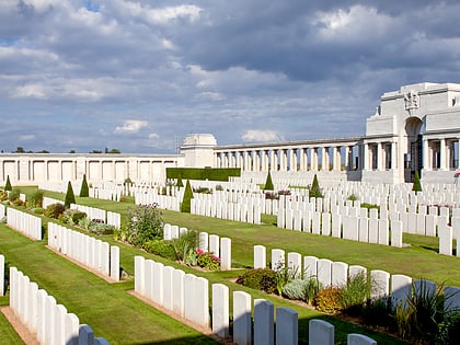
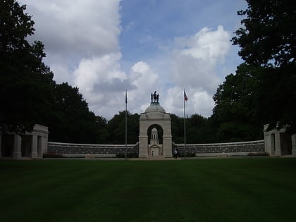
Nearby attractions include: Thiepval Memorial, Connaught Cemetery, Caterpillar Valley Cemetery, Ancre British Cemetery.


