Rue-du-Bois Military Cemetery
Map

Map

Facts and practical information
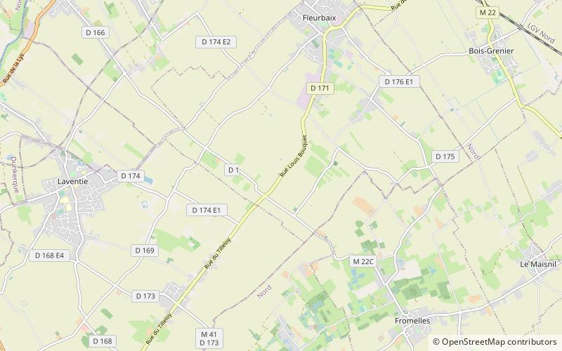
The Rue-du-Bois Military Cemetery is a World War I cemetery located in the commune of Fleurbaix, in the Pas-de-Calais departement of France, about 3 kilometres southwest of the village of Fleurbaix on the D171 road, just before the hamlet of Pétillon. ()
Established: 1914 (112 years ago)Coordinates: 50°37'45"N, 2°49'22"E
Location
Hauts-de-France
ContactAdd
Social media
Add
Day trips
Rue-du-Bois Military Cemetery – popular in the area (distance from the attraction)
Nearby attractions include: Australian Memorial Park, V.C. Corner Australian Cemetery and Memorial, Le Trou Aid Post Cemetery, Laventie.


