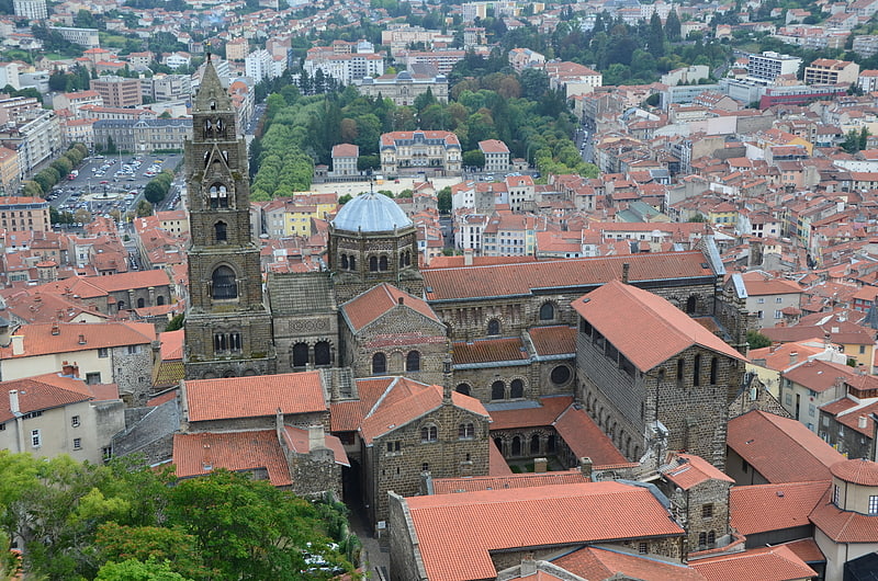
Chapelle Saint-Clair, Le Puy-en-Velay

Gallery (2)
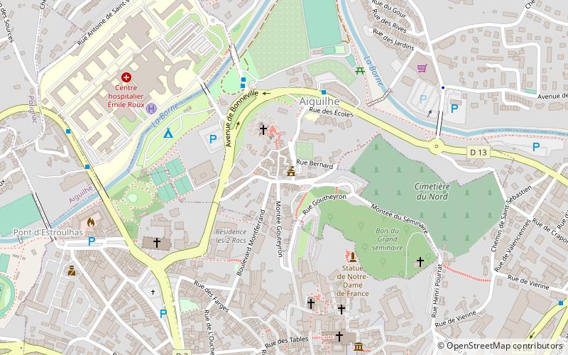
Map

Map
Gallery
Facts and practical information
The Saint-Clair chapel is a Romanesque chapel from Auvergne located in Aiguilhe, in the French department of Haute-Loire in the region Auvergne-Rhône-Alpes. It is also known as the Temple of Diana.
Coordinates: 45°2'56"N, 3°52'59"E
Address
Le Puy-en-Velay
ContactAdd
Social media
Add
Day trips


Frequently Asked Questions (FAQ)
Which popular attractions are close to Chapelle Saint-Clair?
Nearby attractions include Saint Michel d'Aiguilhe, Le Puy-en-Velay (2 min walk), Statue de Notre-Dame de France, Le Puy-en-Velay (4 min walk), Pont de Roderie, Le Puy-en-Velay (5 min walk), St. Lawrence Church, Le Puy-en-Velay (6 min walk).