Communauté d'agglomération Cannes Pays de Lérins, Cannes

Map
Facts and practical information
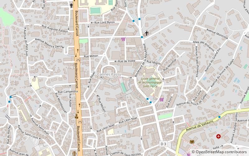
Communauté d'agglomération Cannes Pays de Lérins is the communauté d'agglomération, an intercommunal structure, centred on the city of Cannes. It is located in the Alpes-Maritimes department, in the Provence-Alpes-Côte d'Azur region, southeastern France. It was created in January 2014. Its area is 94.8 km2. Its population was 158,111 in 2018, of which 73,965 in Cannes proper. ()
Address
CarnotCannes
ContactAdd
Social media
Add
Day trips
Communauté d'agglomération Cannes Pays de Lérins – popular in the area (distance from the attraction)
Nearby attractions include: Promenade de la Croisette, Palais des Festivals, Cimetière du Grand Jas, St. Michael the Archangel Church.
Frequently Asked Questions (FAQ)
Which popular attractions are close to Communauté d'agglomération Cannes Pays de Lérins?
Nearby attractions include Château Thorenc, Cannes (15 min walk), Allée des Étoiles du Cinéma, Cannes (16 min walk), Palais des Festivals, Cannes (17 min walk), Malmaison, Cannes (19 min walk).
How to get to Communauté d'agglomération Cannes Pays de Lérins by public transport?
The nearest stations to Communauté d'agglomération Cannes Pays de Lérins:
Bus
Train
Bus
- Jules Ferry • Lines: 4 (4 min walk)
Train
- Cannes (11 min walk)


