Bezons, Paris

Gallery (2)
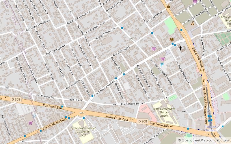
Map
Map
Gallery
Facts and practical information
Bezons is a commune in the northwestern suburbs of Paris, France. It is located 12.6 km from the centre of Paris. ()
Getting there by public transportation
Public transportation stops near this location
- Bus
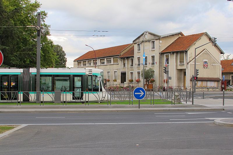
- Tram
- Train
 Bus
Bus
- Calculate routeHenri Barbusse 1 min walk
- Calculate routeÉmile Zola 3 min walk
- Calculate routePont de Bezons 10 min walk
- Calculate routeParc Pierre Lagravere 22 min walk
- Calculate routeVictor Basch 30 min walk
- Calculate routeJacqueline Auriol 38 min walk
- Calculate routeHouilles Carrières-sur-Seine 31 min walk
Maps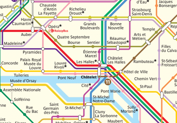 Metro
Metro
MetroDay trips


Frequently Asked Questions (FAQ)
How to get to Bezons by public transport?
The nearest stations to Bezons:
Bus
Tram
Train
Bus
- Henri Barbusse • Lines: 262, 4, 6 (1 min walk)
- Émile Zola • Lines: 262, 4 (3 min walk)
Tram
- Pont de Bezons • Lines: T2 (10 min walk)
- Parc Pierre Lagravere • Lines: T2 (22 min walk)
Train
- Houilles Carrières-sur-Seine (31 min walk)