Bobigny, Paris

Gallery (1)
Map
Map
Facts and practical information
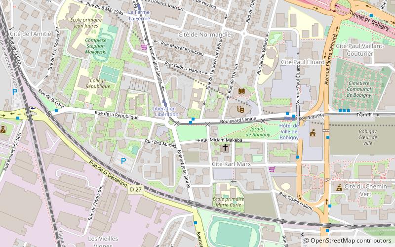
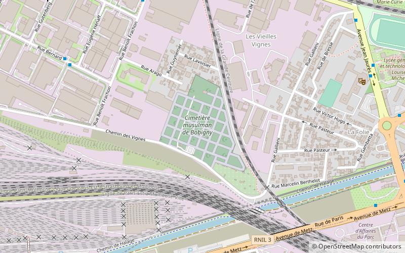
Bobigny is a commune, or town, in the northeastern suburbs of Paris, France. It is located 9.1 km from the centre of Paris. Bobigny is the préfecture of the Seine-Saint-Denis département, as well as the seat of the Arrondissement of Bobigny. It is the 12th-largest commune in Seine-Saint-Denis. ()
Getting there by public transportation
Public transportation stops near this location
- Metro
- Bus
- Tram
- Train
 Metro
Metro
- Calculate routeConservatoire Jean Wiener 1 min walk
- Calculate routeHôtel de Ville de Bobigny 5 min walk
- Calculate routeKarl Marx 6 min walk
- Calculate routeCentre Commercial de Bobigny 7 min walk
- Calculate routeLibération 2 min walk
- Calculate routeHôtel de Ville de Bobigny 5 min walk
- Calculate routeLa Ferme 7 min walk
- Calculate routeBobigny - Pablo Picasso 12 min walk
- Calculate routeBobigny - Pablo Picasso 11 min walk
- Calculate routeNoisy-le-Sec 29 min walk
Maps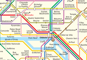 Metro
Metro
MetroDay trips


Frequently Asked Questions (FAQ)
How to get to Bobigny by public transport?
The nearest stations to Bobigny:
Bus
Tram
Metro
Train
Bus
- Conservatoire Jean Wiener • Lines: 234, 251, 301 (1 min walk)
- Hôtel de Ville de Bobigny • Lines: 234, 251, 301 (5 min walk)
Tram
- Libération • Lines: T1 (2 min walk)
- Hôtel de Ville de Bobigny • Lines: T1 (5 min walk)
Metro
- Bobigny - Pablo Picasso • Lines: 5 (11 min walk)
Train
- Noisy-le-Sec (29 min walk)