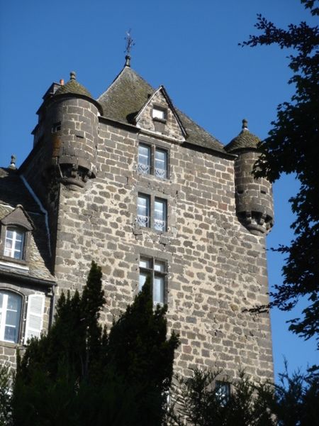
Château de Comblat

Gallery (2)
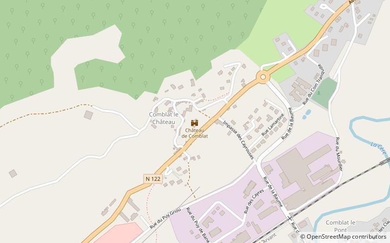
Map
Map
Gallery
Facts and practical information
The castle of Comblat is a medieval castle located in Vic-sur-Cère in the Cantal. It is registered in the inventory of historical monuments since November 18, 2002 and has a remarkable park. It was for three centuries, from 1586 to 1789, the residence of the clerks, then vice-bailiffs, in charge of ensuring the pacification of the Haute-Auvergne.
Coordinates: 44°58'12"N, 2°36'34"E
Location
Auvergne-Rhône-Alpes
ContactAdd
Social media
Add
Day trips


