Tour de Taradel, Taradeau
Map

Map

Facts and practical information
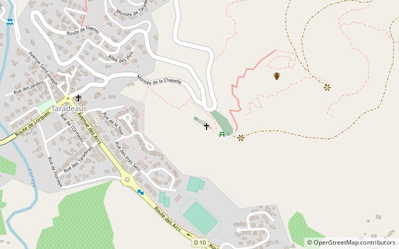
Tour de Taradel is a place located in Taradeau (Provence-Alpes-Côte d'Azur region) and belongs to the category of ruins.
It is situated at an altitude of 486 feet, and its geographical coordinates are 43°27'13"N latitude and 6°25'58"E longitude.
Among other places and attractions worth visiting in the area are: Provence Aventure Vidauban, Vidauban (adventure park, 36 min walk), Les Arcs (locality, 62 min walk), Trans-en-Provence (locality, 105 min walk).
Coordinates: 43°27'13"N, 6°25'58"E
Day trips
Tour de Taradel – popular in the area (distance from the attraction)
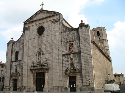
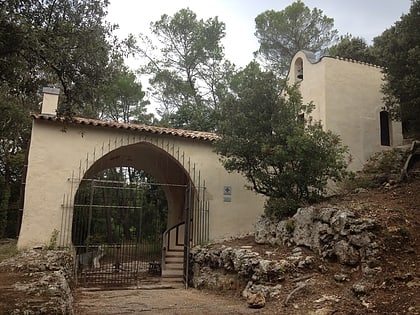
Nearby attractions include: St. Martin's Church, Provence Aventure Vidauban, Chapelle Notre-Dame de Benva, Les Arcs.


