Grand Pic de la Lauzière

Gallery (1)
Map
Map
Facts and practical information
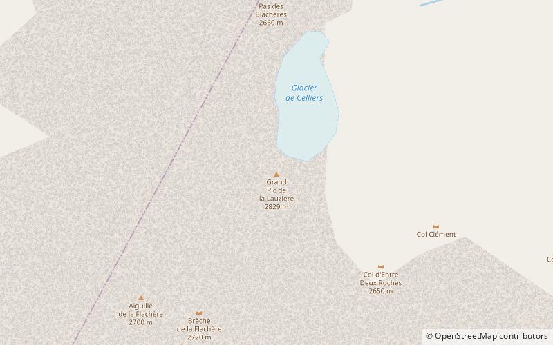
Grand Pic de la Lauzière is a mountain of Savoie, France. It lies in the Lauzière massif range and has an elevation of 2,829 metres above sea level. ()
Local name: Grand pic de la Lauzière Elevation: 9281 ftProminence: 2743 ftCoordinates: 45°27'33"N, 6°21'59"E
Location
Auvergne-Rhône-Alpes
ContactAdd
Social media
Add
Day trips


