Chalet du Breuil, Morvan Regional Natural Park
Map

Map

Facts and practical information
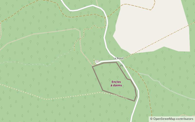
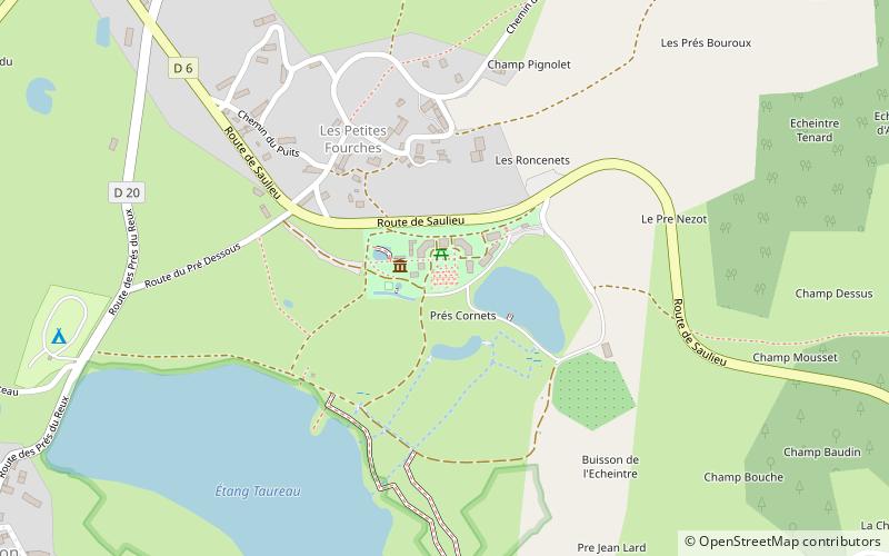
Chalet du Breuil is a place located in Morvan Regional Natural Park (Bourgogne-Franche-Comté region) and belongs to the category of hiking, alpine hut.
It is situated at an altitude of 2008 feet, and its geographical coordinates are 47°17'19"N latitude and 4°3'19"E longitude.
Among other places and attractions worth visiting in the area are: Église Sainte-Amélie, Dun-les-Places (church, 47 min walk), Saint-Brisson (locality, 52 min walk), Herbularium du Morvan (botanical garden, 58 min walk).
Coordinates: 47°17'19"N, 4°3'19"E
Day trips
Chalet du Breuil – popular in the area (distance from the attraction)
Nearby attractions include: Herbularium du Morvan, Lac de Saint-Agnan, St. George's Church, Église Sainte-Amélie.


