Tour des Valois, Vienne
Map

Map

Facts and practical information
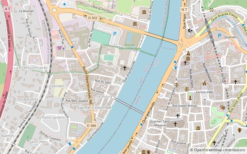
The Tour de Valois is located in Sainte-Colombe, in the south of the Rhône department, on the right bank of the river, opposite Vienne.
Coordinates: 45°31'35"N, 4°52'11"E
Address
184 place Aristide BriandVienne
ContactAdd
Social media
Add
Day trips
Tour des Valois – popular in the area (distance from the attraction)
Nearby attractions include: Temple of Augustus and Livia, Vienne Cathedral, Saint Peter's church, Saint-Romain-en-Gal.
Frequently Asked Questions (FAQ)
Which popular attractions are close to Tour des Valois?
Nearby attractions include Musée Gallo-Romain de Saint-Romain-en-Gal, Vienne (5 min walk), Saint-André-le-Bas de Vienne, Vienne (6 min walk), Chapelle Saint-Théodore, Vienne (6 min walk), Temple of Augustus and Livia, Vienne (6 min walk).
How to get to Tour des Valois by public transport?
The nearest stations to Tour des Valois:
Bus
Train
Bus
- Saint-Maurice • Lines: 1, 3, 4, 5, 6, 7 (5 min walk)
- Jeu de Paume • Lines: 1, 3, 4, 5, 6, 7, T52 (5 min walk)
Train
- Vienne (13 min walk)
- Vienne-Estressin (25 min walk)


