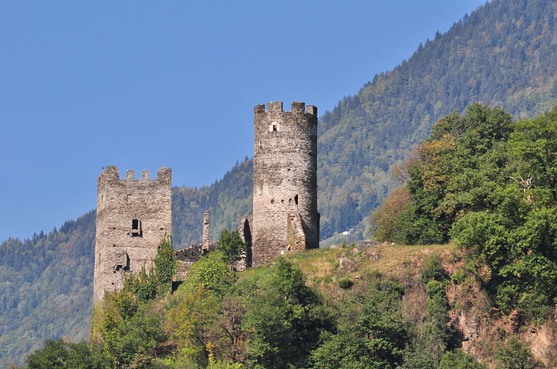
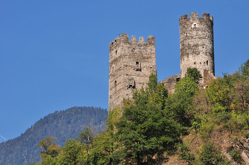
Château de Chantemerle

Gallery (10)
Map

Map

Gallery
Facts and practical information
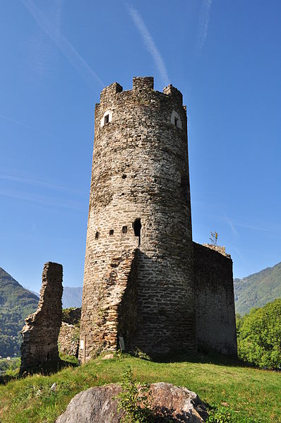
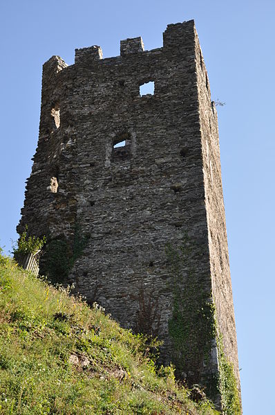
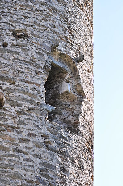
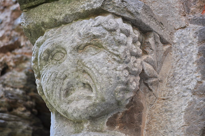
The Château de Chantemerle is a ruined castle in the commune of La Bâthie in the Savoie département of France. It is also known locally as Château de Saint-Didier. ()
Location
Auvergne-Rhône-Alpes
ContactAdd
Social media
Add
Day trips