Nécropole nationale de La Crouée
Map

Map

Facts and practical information
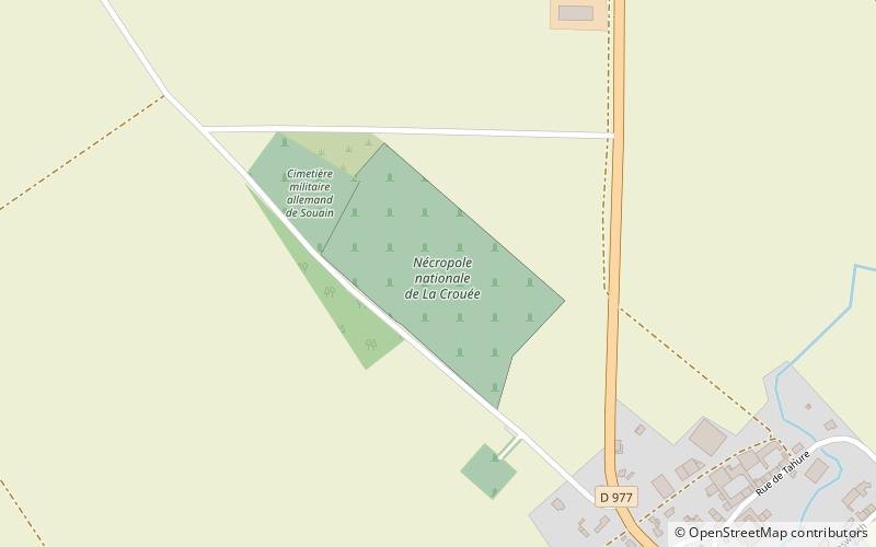
The national necropolis of La Crouée is a French military cemetery of the First World War located on the territory of the commune of Souain-Perthes-lès-Hurlus at the northern exit of the village, on the edge of the RD 977 in the direction of Sommepy-Tahure, in the department of the Marne.
It is one of the most important necropolises in metropolitan France in terms of the number of soldiers buried.
Coordinates: 49°11'17"N, 4°32'19"E
Location
Grand Est
ContactAdd
Social media
Add
Day trips
Nécropole nationale de La Crouée – popular in the area (distance from the attraction)
Nearby attractions include: St. Martin's Church, Nécropole nationale de Suippes-Ville, St. Martin's Church.


