Île Ronde
Map

Map

Facts and practical information
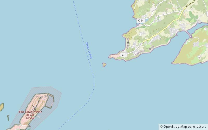
The Île Ronde is a French islet 400 metres to the south west of Pointe de l’Armorique, in the roadstead of Brest, within the territory of the commune of Plougastel-Daoulas. Its highest point is 24 m. Facing Île Ronde, on the pointe de l’Armorique, is the fort de la pointe de l’Armorique, built in 1775 for the defense of Brest. ()
Location
Brittany
ContactAdd
Social media
Add
Day trips
Île Ronde – popular in the area (distance from the attraction)
Nearby attractions include: Château de Brest, Tour Tanguy, Portzic Lighthouse, Cinémathèque de Bretagne.


