Beaufortain
#1902 among destinations in France
![Beaufortain location map](https://tzmedia.b-cdn.net/media/images/static-maps/fr/45_7333_6_55.jpg)
Facts and practical information
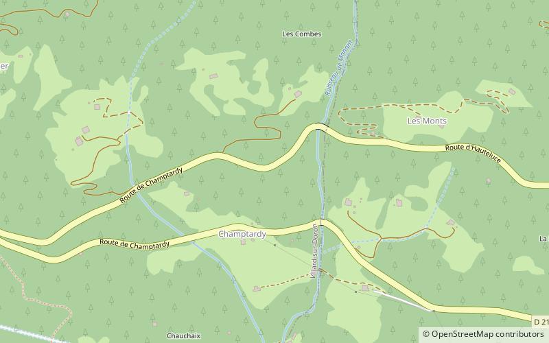
Beaufortain is a valley in the Savoie department in the Rhône-Alpes region in south-eastern France. It extends around the commune of Beaufort. ()
Auvergne-Rhône-AlpesFrance
Beaufortain plan & book
Unleash the traveler in you — discover the cheapest flight deals, find the perfect hotel or hostel nearby, and search for the best car rental prices. Travel at your own pace to discover new places and enjoy your journey.
Beaufortain – popular in the area (distance from the attraction)
Nearby attractions include: Espace Diamant, Aiguille Croche, Mont Mirantin, Pointe de la Grande Journée.
4.2 miNWinter sport, Ski areaEspace Diamant
108 min walk • Nestled in the heart of the French Alps, Espace Diamant is a hidden gem among ski areas, offering a seamless blend of alpine charm and expansive skiing terrain. With its breathtaking views and varied pistes, it's a must-visit destination for both novice and seasoned...
7 miNEHiking destination with sweeping viewsAiguille Croche
179 min walk • The Aiguille Croche is a mountain in the Beaufortain Massif in Savoie and Haute-Savoie, France. In 2009, Matthias Giraud was the first person to descent and ski BASE jump off its cliff face.
4.2 miSWNature, Natural attraction, MountainMont Mirantin
107 min walk • Mont Mirantin is a mountain of Savoie, France. It lies in the Beaufortain Massif range. It has an elevation of 2,460 metres above sea level.
5.1 miSWNature, Natural attraction, MountainPointe de la Grande Journée
131 min walk • Pointe de la Grande Journée is a mountain of Savoie, France. It lies in the Beaufortain Massif. It has an elevation of 2,460 metres above sea level.
5.5 miSWNature, Natural attraction, MountainRoche Pourrie
141 min walk • Roche Pourrie is a mountain of Savoie, France. It lies in the Beaufortain Massif range. It has an elevation of 2,037 metres above sea level.
2.1 miNEChurchSt. James Church, Hauteluce
53 min walk • The Saint-Jacques-d'Assyrie church is a Catholic church located in Hauteluce, France. It is dedicated to Saint Jacques de Tarentaise, also known as Jacques d'Assyrie.
1.7 miNWNature, Natural attraction, Mountain passCol des Saisies
45 min walk • Col des Saisies is a mountain pass in the Alps in the department of Savoie in France. The pass is delimited by the peak of Bisanne to the west, and by the peaks of Légette and Chard du Beurre to the east.
2 miNE 4.6 miNWLocalityCrest-Voland
117 min walk • During the winter months, Crest-Voland becomes a paradise for skiers and snowboarders, with easy access to the Espace Diamant ski area. With over 192 kilometers of slopes, this vast ski area offers diverse terrain for all skill levels, from gentle beginner slopes...
2.1 miWLocalityVillard-sur-Doron
54 min walk • Villard-sur-Doron is a commune in the Savoie department in the Auvergne-Rhône-Alpes region in south-eastern France.
5 miNLocalityNotre-Dame-de-Bellecombe
128 min walk • Notre-Dame-de-Bellecombe is a commune in the Savoie department in the Auvergne-Rhône-Alpes region in south-eastern France.