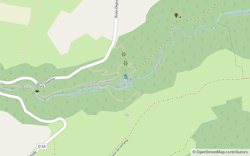
Cascade de la Beaume, Solignac-sur-Loire

Gallery (1)
Map
Map
Facts and practical information
The Beaume waterfall is a waterfall located at an altitude of 900 meters, at the limit between the communes of Brignon and Solignac-sur-Loire, near the village of Agizoux in Haute-Loire. The waters of the Beaume river rush down from a height of 27 meters before joining the Loire a few kilometers downstream.
Elevation: 2740 ft a.s.l.Coordinates: 44°56'34"N, 3°53'27"E
Day trips


