Canal de Roubaix, Lille
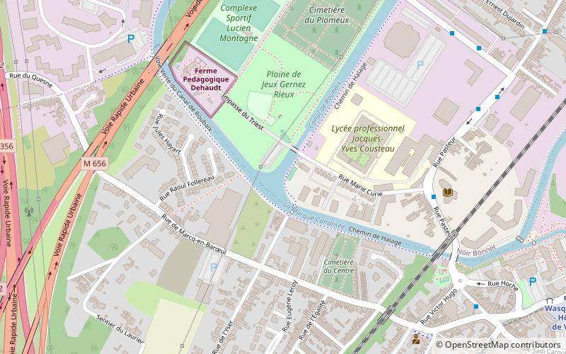
Map

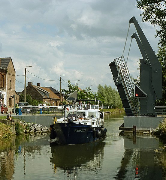
Gallery

Facts and practical information
The Canal de Roubaix is a canal in northern France. It joins the Canal de la Deûle near Marquette-lez-Lille to the Canal de l’Espierres in Belgium at Leers, just east of the former textile manufacturing town Roubaix. It is 20 km long with 12 locks. The Belgian canal continues 8.4 km and three locks beyond the border to the junction with the river Escaut. ()
Address
Lille
ContactAdd
Social media
Add
Day trips
Canal de Roubaix – popular in the area (distance from the attraction)
Nearby attractions include: Château du Sart, Croix, Marcq-en-Barœul, Wasquehal.
Frequently Asked Questions (FAQ)
How to get to Canal de Roubaix by public transport?
The nearest stations to Canal de Roubaix:
Bus
Metro
Tram
Train
Bus
- Wasquehal – Centre • Lines: 30, 906, C11 (8 min walk)
- Place Gambetta • Lines: 30, 906, C11 (8 min walk)
Metro
- Wasquehal - Hôtel de Ville • Lines: 2 (11 min walk)
- Croix Centre • Lines: 2 (27 min walk)
Tram
- Pont de Wasquehal • Lines: R (16 min walk)
- La Terrasse • Lines: R (15 min walk)
Train
- Croix - Wasquehal (21 min walk)


