Cimetière militaire allemand de Warmériville, Warmeriville

Gallery (1)
Map
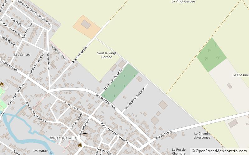
Map
Facts and practical information
Cimetière militaire allemand de Warmériville is a place located in Warmeriville (Grand Est region) and belongs to the category of cemetery.
It is situated at an altitude of 279 feet, and its geographical coordinates are 49°21'10"N latitude and 4°13'28"E longitude.
Among other places and attractions worth visiting in the area are: War Memorial (memorial, 10 min walk), Lavannes (locality, 94 min walk), Saint-Symphorien Church, Witry-lès-Reims (church, 157 min walk).
Coordinates: 49°21'10"N, 4°13'28"E
Day trips
Cimetière militaire allemand de Warmériville – popular in the area (distance from the attraction)
Nearby attractions include: Saint-Symphorien Church, War Memorial, Lavannes.


