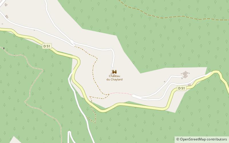
Château du Chaylard

Gallery (3)
Map
Map
Gallery
Facts and practical information
The castle of Aujac or Cheylard d'Aujac is a medieval castle located on the commune of Aujac in the Gard. It is built on the spur of a rocky promontory overhanging the D51 road, which crosses the Ardèche and connects Saint-Ambroix to Villefort. It is the highest point of the Haute Vallée de la Cèze at 600 meters.
Coordinates: 44°20'50"N, 4°1'39"E
Location
Occitanie
ContactAdd
Social media
Add
Day trips


