Le Logis du Moulin

Gallery (1)
Map
Map
Facts and practical information
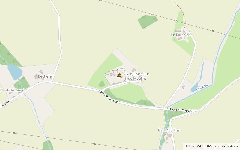
The house of Moullins is a seigneurial residence built between the XII and XVI centuries. It is located in the commune of Saint-Rémy-du-Val in the French department of Sarthe
Coordinates: 48°20'41"N, 0°13'53"E
Location
Pays de la Loire
ContactAdd
Social media
Add
Day trips


