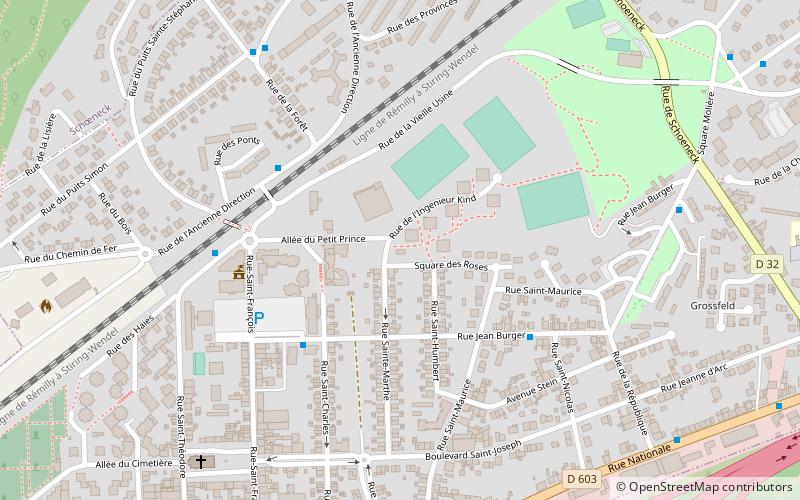
Puits Sainte-Marthe, Stiring-Wendel

Gallery (1)
Map
Map
Facts and practical information
Puits Sainte-Marthe is a place located in Stiring-Wendel (Grand Est region) and belongs to the category of sightseeing.
It is situated at an altitude of 745 feet, and its geographical coordinates are 49°12'9"N latitude and 6°55'53"E longitude.
Among other places and attractions worth visiting in the area are: Chapelle Sainte-Croix, Forbach (monuments and statues, 34 min walk), Spicheren (locality, 44 min walk), Saint-Rémy Church, Forbach (church, 47 min walk).
Coordinates: 49°12'9"N, 6°55'53"E
Address
Stiring-Wendel
ContactAdd
Social media
Add
Day trips


