Petit-Montrouge, Paris
Map

Gallery
Facts and practical information
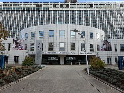
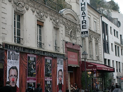
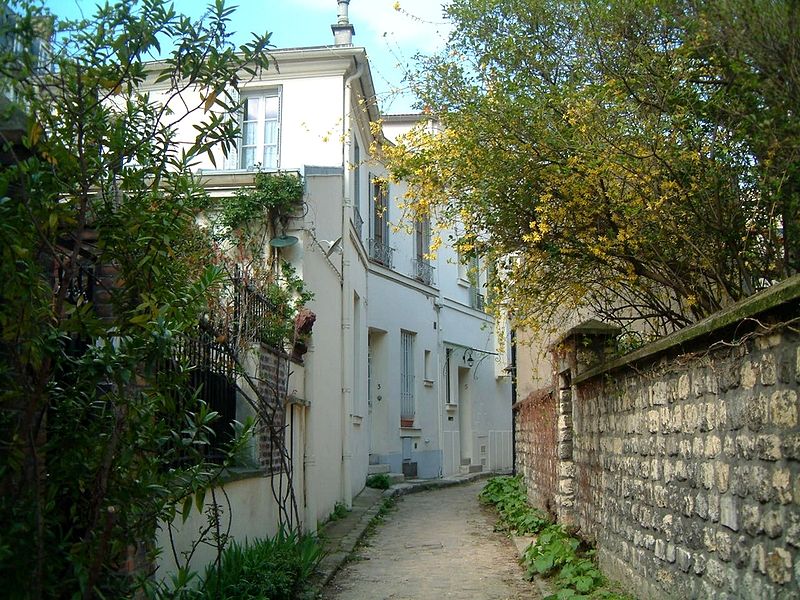
The quartier du Petit-Montrouge is number 55 of the 80 quartiers administratifs in Paris. It lies in the 14th Arrondissement, in the south of the capital. It owes its name to the adjacent commune of Montrouge, of which it formed a part before 1860. It is familiar as the quartier Alésia, from the name of a street that bisects it and from the principal Métro station that serves it, although the quartier Alésia does not exactly overlap the quartier du Petit-Montrouge. ()
Address
Observatoire (Petit-Montrouge)Paris
ContactAdd
Social media
Add
Day trips
Petit-Montrouge – popular in the area (distance from the attraction)
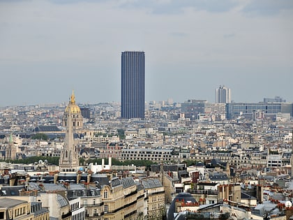
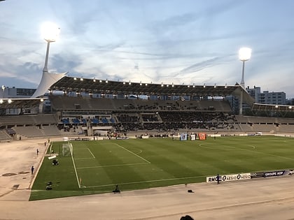
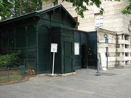
Nearby attractions include: Montparnasse, Tour Montparnasse, Stade Charléty, Catacombs of Paris.
Frequently Asked Questions (FAQ)
Which popular attractions are close to Petit-Montrouge?
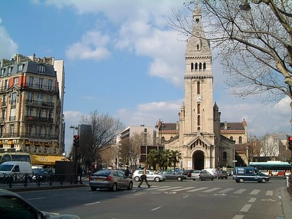
Nearby attractions include Saint-Pierre de Montrouge, Paris (1 min walk), 14th arrondissement of Paris, Paris (9 min walk), Rue d'Alésia, Paris (9 min walk), Place Denfert-Rochereau, Paris (11 min walk).
How to get to Petit-Montrouge by public transport?
The nearest stations to Petit-Montrouge:
Metro
Bus
Tram
Train
Metro
- Alésia • Lines: 4 (1 min walk)
- Mouton-Duvernet • Lines: 4 (7 min walk)
Bus
- Alésia - Maine • Lines: 38, 68, 92, N14, N21, N66 (2 min walk)
- Alésia - Jean Moulin • Lines: 62 (2 min walk)
Tram
- Porte d'Orléans • Lines: T3a (10 min walk)
- Jean Moulin • Lines: T3a (12 min walk)
Train
- Denfert-Rochereau (12 min walk)
- Cité Universitaire (20 min walk)
 Metro
Metro
