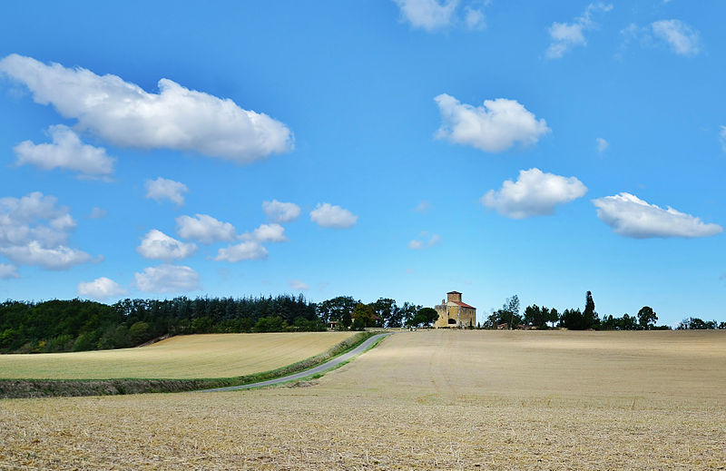
Château du Garranée

Gallery (2)
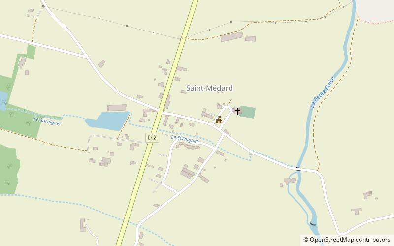
Map
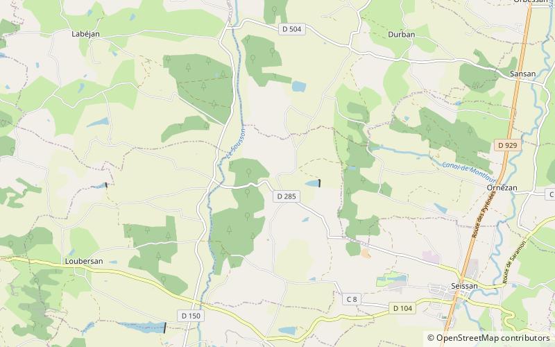
Map
Gallery
Facts and practical information
The castle of Garrané is a Gascon type castle built from the 11th to the 15th century and located in the former commune of Garrané, now part of Seissan.
Coordinates: 43°30'48"N, 0°32'51"E
Location
Occitanie
ContactAdd
Social media
Add
Day trips