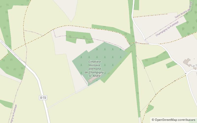
Champigny-Saint-André German war cemetery
Map

Map

Facts and practical information
Champigny-Saint-André is a German World War II cemetery in Normandy, France. It is located 5 kilometers South of the village of Saint-André-de-l'Eure, about 25 km south east of Évreux. The burials come from the summer of 1944, as the Allies pushed out of Normandy towards Paris. It is the second largest of the six German war cemeteries in Normandy with a nearly 20,000 burials. The cemetery is maintained and managed by the voluntary German War Graves Commission. ()
Local name: Cimetière militaire allemand de Champigny-Saint-André Established: 1944 (82 years ago)Coordinates: 48°52'34"N, 1°16'34"E
Location
Normandy
ContactAdd
Social media
Add
Day trips
Champigny-Saint-André German war cemetery – popular in the area (distance from the attraction)
Nearby attractions include: Le Breuil-Benoît Abbey, Saint-André-de-l'Eure.


