Créteil, Paris
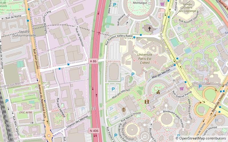
Map

Gallery
Facts and practical information
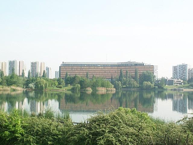
Créteil is a commune in the southeastern suburbs of Paris, Île-de-France. It is located 11.5 km from the centre of Paris. Créteil is the préfecture of the Val-de-Marne department as well as the seat of the Arrondissement of Créteil. The city is, moreover, the seat of a Roman Catholic diocese and of one of France's 30 nationwide académies of the Ministry of National Education. ()
Day trips
Créteil – popular in the area (distance from the attraction)
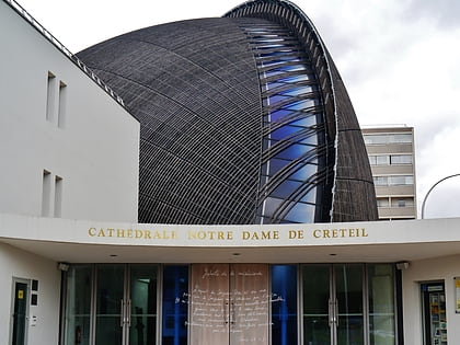
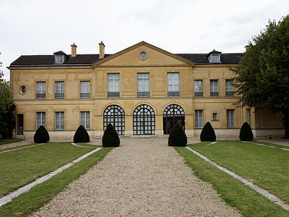
Nearby attractions include: Lac de Créteil, Créteil Cathedral, Château de Réghat, Palais des Sports Robert Oubron.
Frequently Asked Questions (FAQ)
Which popular attractions are close to Créteil?
Nearby attractions include Lac de Créteil, Yerres (13 min walk), Créteil Cathedral, Montreuil (15 min walk).
How to get to Créteil by public transport?
The nearest stations to Créteil:
Bus
Metro
Train
Bus
- Préfecture du Val-de-Marne • Lines: 117, 181, 281, 308, 317, B, O1, O2 (2 min walk)
Metro
- Créteil-Préfecture • Lines: 8 (11 min walk)
Train
- Le Vert de Maisons (26 min walk)
- Créteil Pompadour (29 min walk)

 Metro
Metro
