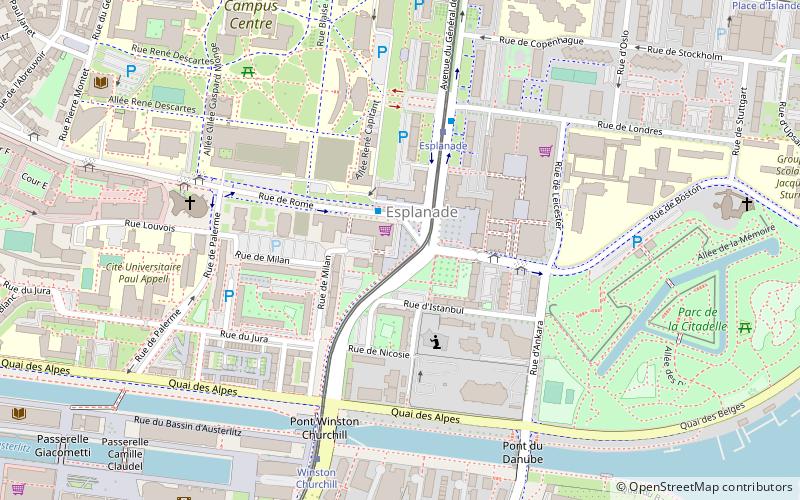
Esplanade, Strasbourg

Map
Facts and practical information
Esplanade, also known as Esplanade Avenue, is a 0.8-mile street with a series of green traffic medians in the Morris Park and Pelham Gardens neighborhoods of the Bronx in New York City. The street was constructed in 1912 atop a covered trench of the New York, Westchester and Boston Railway that was cut through a hill. Atop the hill, Esplanade intersects with Pelham Parkway, a road with its own series of green traffic medians designated as parkland. ()
Length: 4224 ftElevation: 463 ft a.s.l.Coordinates: 48°34'36"N, 7°46'7"E
Address
Esplanade (Esplanade Sud Ouest)Strasbourg
ContactAdd
Social media
Add
Day trips
Esplanade – popular in the area (distance from the attraction)
Nearby attractions include: Strasbourg Cathedral, Musée de l'Œuvre Notre-Dame, Musée Alsacien, St. Paul's Church.
Frequently Asked Questions (FAQ)
Which popular attractions are close to Esplanade?
Nearby attractions include Parc de la Citadelle, Strasbourg (8 min walk), Le Vaisseau, Strasbourg (8 min walk), University of Strasbourg, Strasbourg (10 min walk), Médiathèque André Malraux, Strasbourg (11 min walk).
How to get to Esplanade by public transport?
The nearest stations to Esplanade:
Bus
Tram
Train
Bus
- Rome • Lines: 30, L1 (1 min walk)
- Ankara • Lines: 30 (3 min walk)
Tram
- Esplanade • Lines: E, Tram C (4 min walk)
- Winston Churchill • Lines: E, Tram C (6 min walk)
Train
- Krimmeri-Meinau (30 min walk)


