Stromberg, Sierck-les-Bains

Gallery (1)
Map
Map
Facts and practical information
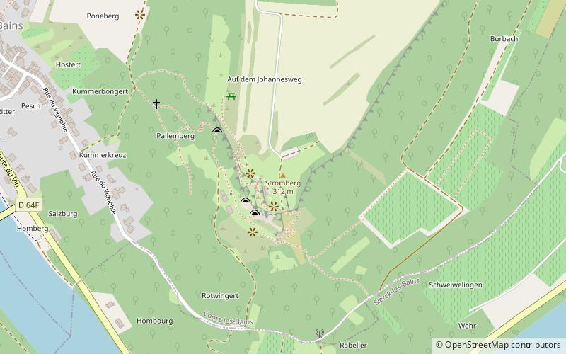
Stromberg, in Luxembourgish Strombierg, is a hill located in the Moselle department, in the Grand Est region, on the borders of France and Luxembourg.
Coordinates: 49°26'60"N, 6°21'21"E
Address
Sierck-les-Bains
ContactAdd
Social media
Add
Day trips