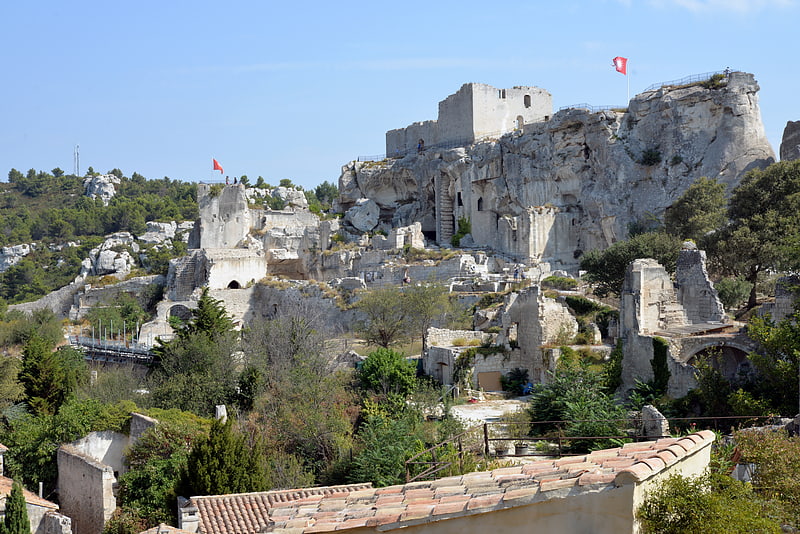
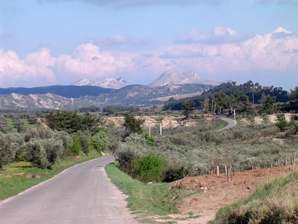
Alpilles

Gallery (3)
Map
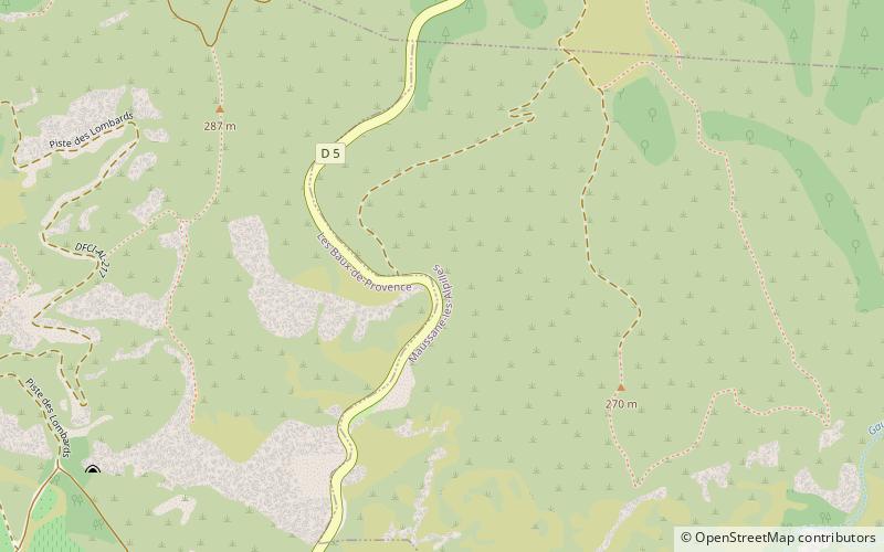
Map
Gallery
Facts and practical information
Local name: Massif des Alpilles Area: 66.02 mi²Maximum elevation: 26247 ftCoordinates: 43°45'0"N, 4°49'59"E
Location
Provence-Alpes-Côte d'Azur
ContactAdd
Social media
Add
Day trips