Mont Poupet

Gallery (1)
Map
Map
Facts and practical information
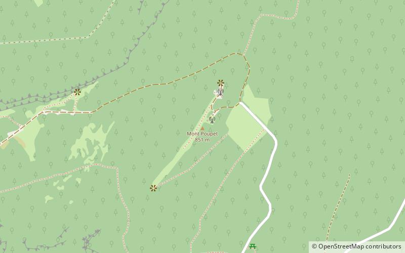
Mont Poupet is a mountain in the Jura Mountains, Bourgogne-Franche-Comté, eastern France. With an elevation of 851 metres, it is located in the commune of Saint-Thiébaud. From up there you can look down over the whole valley of Salins-les-Bains. ()
Location
Bourgogne-Franche-Comté
ContactAdd
Social media
Add
Day trips